
Walkable.
Safety-first walking navigation app. Find the safest routes with real-time Walkable Score based on lighting, foot traffic & crime data. Choose Safe, Balanced or Fastest.
More About Walkable
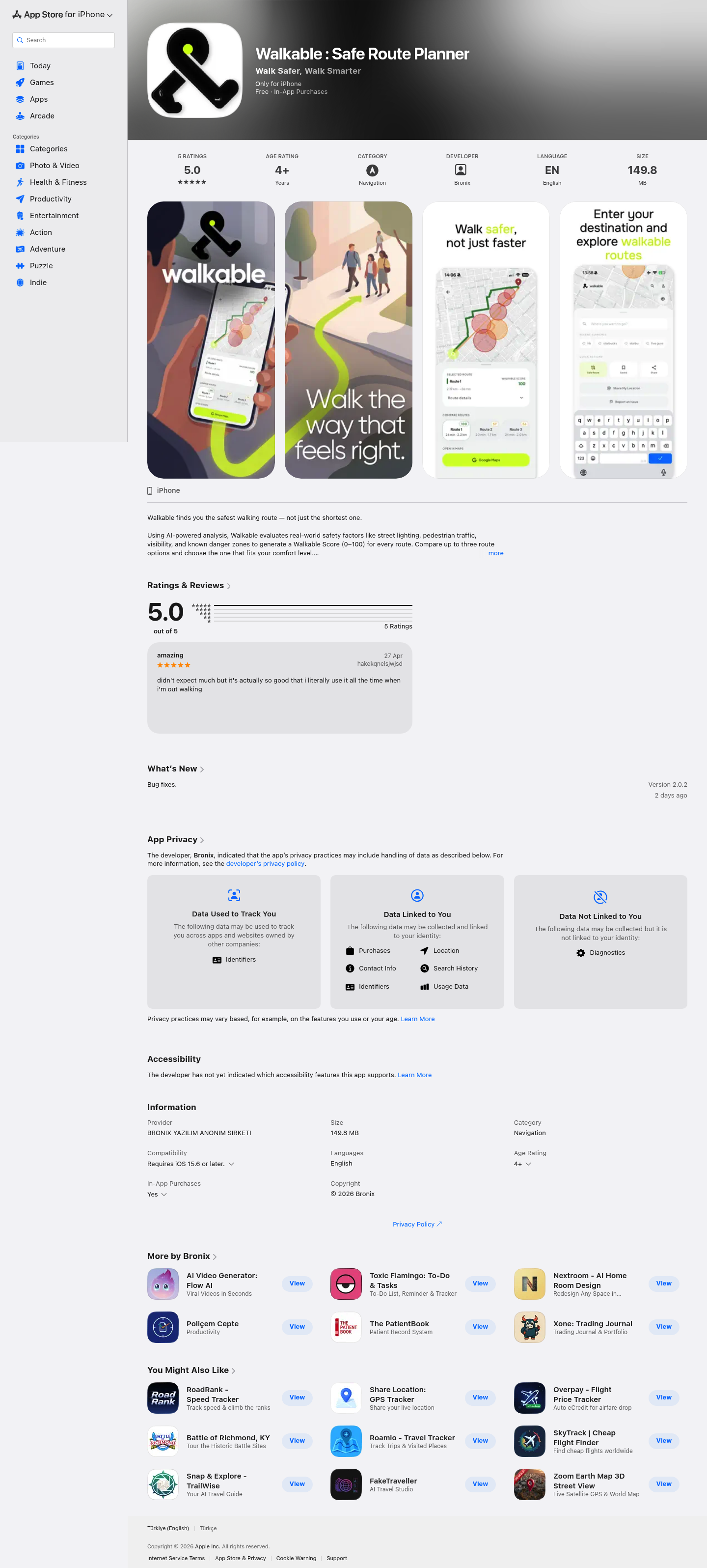
Walkable: Safe Route Planner
Walkable is an AI-powered navigation app that prioritizes your safety over speed. Unlike traditional mapping tools that only calculate the shortest distance, Walkable analyzes real-world safety factors like street lighting, pedestrian traffic, and visibility to help you choose the most secure walking route.
Product Highlights
- AI Safety Analysis: Evaluates routes based on lighting conditions, foot traffic density, visibility, and historical safety data
- Walkable Score: Clear 0-100 safety rating for every route enabling quick comparison between options
- Night Mode: Specialized routing that accounts for reduced lighting and lower foot traffic after dark
- Danger Zone Map: Visual highlighting of risk areas on the map before you begin your journey
- Multi-Route Comparison: Compare 2-3 route options ranked by safety rather than distance alone
- Google Maps Handoff: Seamless transfer to Google Maps for turn-by-turn navigation of your chosen safe route
- Journey Ratings: Post-walk feedback system to continuously improve route recommendations
- Save Routes: Quick access to your favorite verified safe paths
Use Cases
- Night Commutes: Safer walking routes for evening travelers returning home after dark
- Travel Exploration: Confident navigation through unfamiliar cities and neighborhoods
- Daily Walking: Peace of mind for regular walking commutes prioritizing personal safety
- Solo Walkers: Enhanced security for individuals walking alone in urban environments
Target Audience
Walkable serves urban pedestrians, night commuters, solo travelers, and anyone who values personal safety when walking. The app is particularly valuable for women, students, tourists, and residents of cities with varying neighborhood safety levels who want data-driven route decisions.